
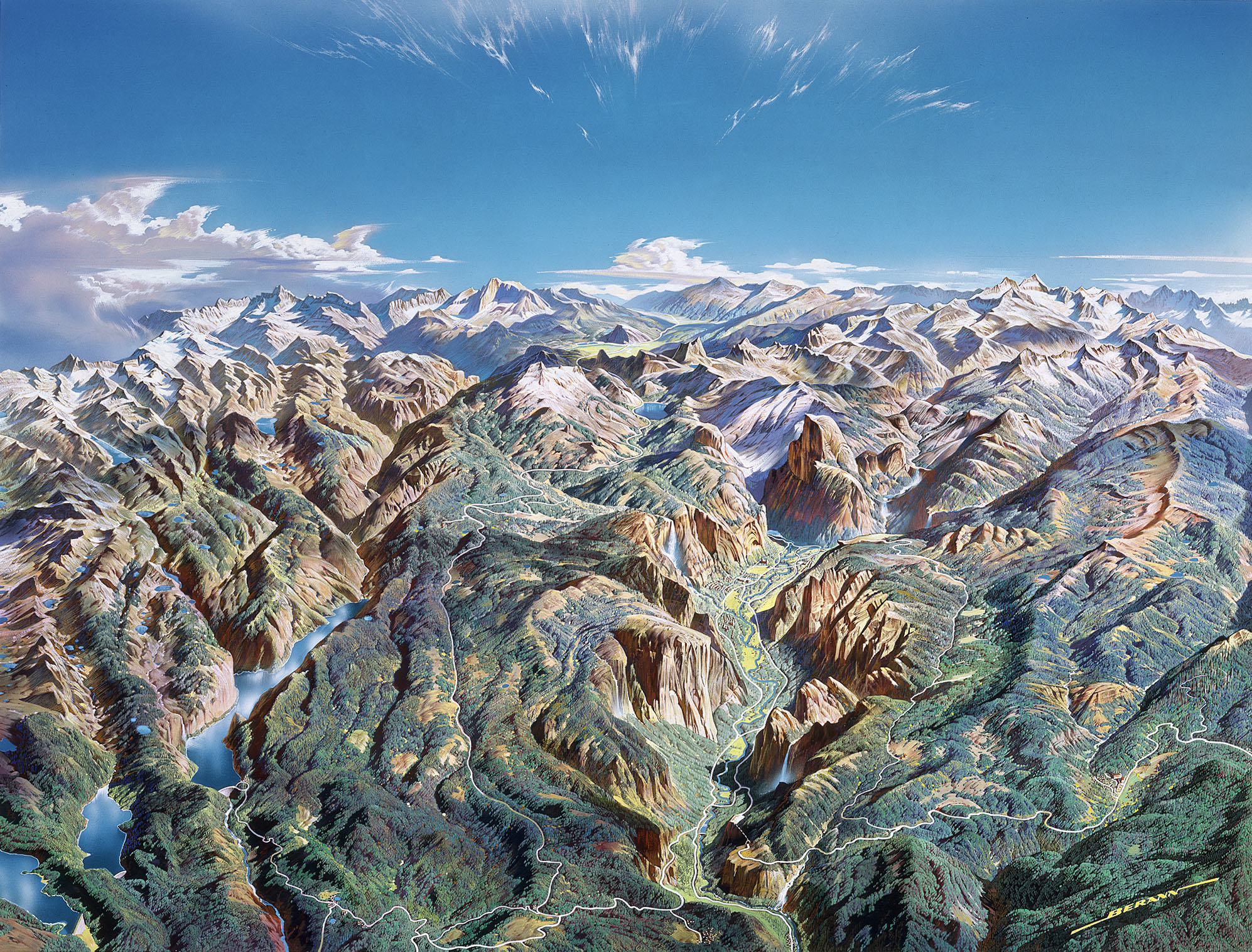
For many years merging multiple DEMs into a seamless scene was a mystery, then just a hassle. It took many, many raster calculations, adding one at a time to get there. But now, it’s a snap. All we have to do is create a blank raster that has the same bit depth as the original, then load all the tiles in. ArcCatalog automatically mosaics them all together, producing a clean DEM, sans the joins, ready to go for our shaded relief fix. Watch the video, it’s a breeze! Correction from the video: National Elevation DEMs (NED) are 1-Arc Second 30m, 1/3-Arc Second 10m, and 1/9-Arc Second 3m. Most of Alaska is covered by 2-Arc Second 60m DEMs. They can all be downloaded at the USGS Seamless Server.
Sunday, September 25, 2011
Subscribe to:
Post Comments (Atom)
No comments:
Post a Comment